Islamabad Sectors Explained: A Visitor's Guide to the Grid
How Islamabad's sector system works — what F-7, G-11 or E-11 means, where the markets, hotels and hospitals are, and how long it takes to get around.
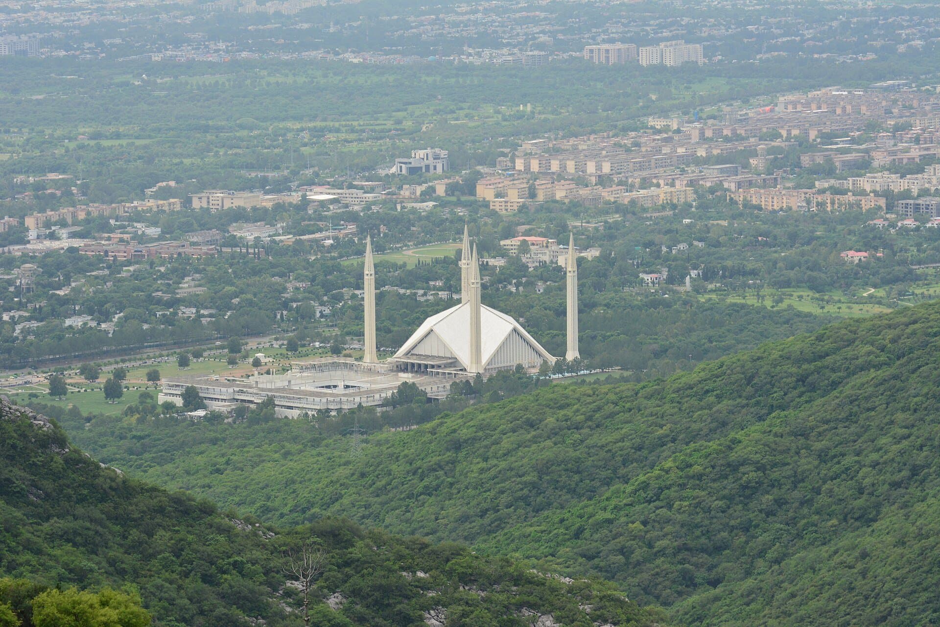
Islamabad was planned as a grid of sectors, and once you understand the system the city is easy to read — even if driving it for the first time is not.
How the names work
Each sector has a letter and a number, such as F-7 or G-11. Letters run in bands from north to south — E, F, G, H, I — with D and B on the edges. Numbers increase from east to west. So F-6 is next to F-7, and G-11 is directly south of F-11.
Each sector is divided into four sub-sectors — F-7/1, F-7/2, F-7/3, F-7/4 — and has a central market called the Markaz.
Where things are
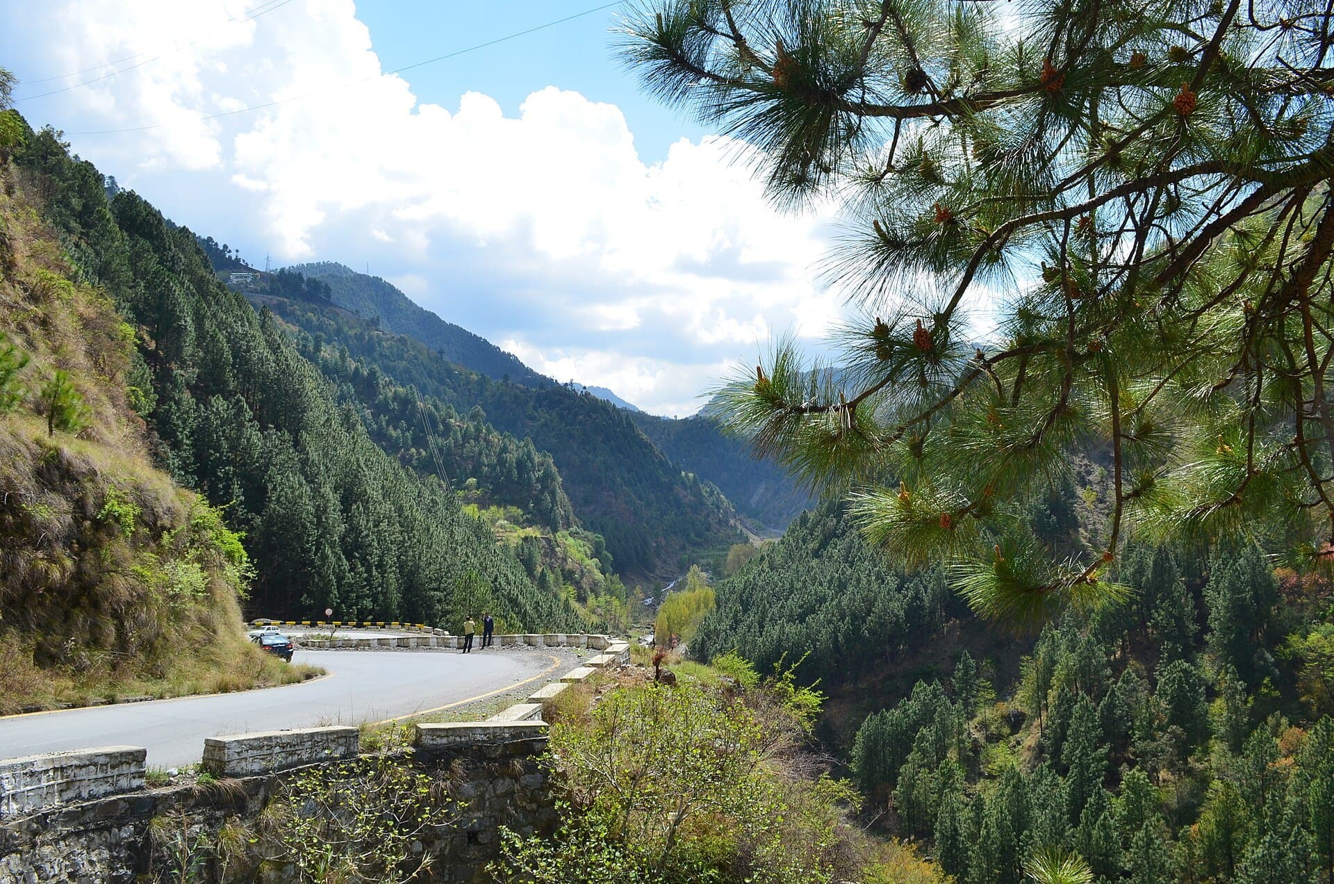
- E-7 and F-6, F-7 — at the foot of the Margalla Hills; guest houses, embassies' residences, Kohsar Market and Jinnah Super. See F sectors.
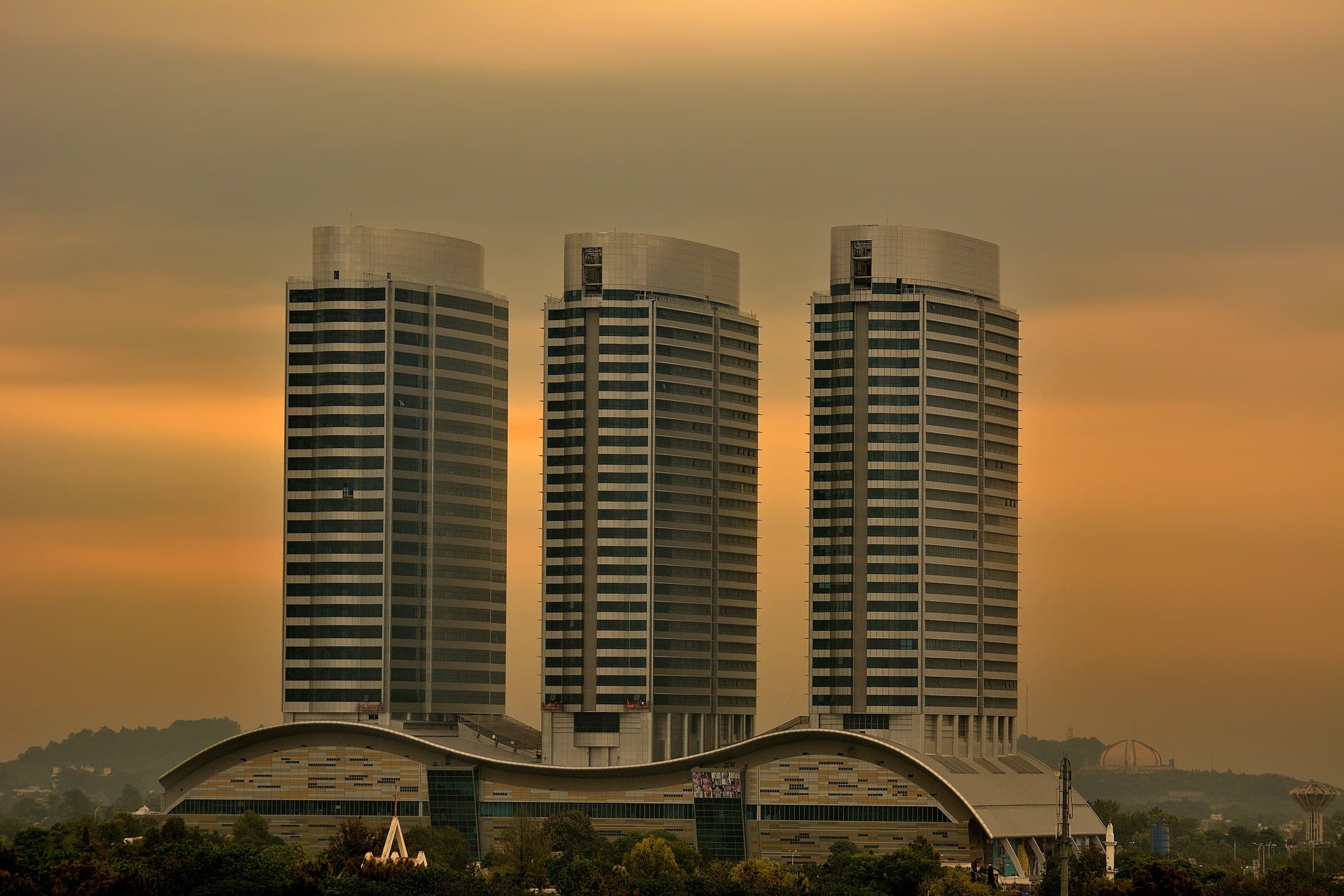
- Blue Area — the commercial strip along Jinnah Avenue between the F and G sectors. See Blue Area.
- G-5 — the Diplomatic Enclave and Constitution Avenue. See Diplomatic Enclave.
- G-8 to G-11 — residential sectors with busy markets; PIMS hospital is in G-8. See G sectors.
- H sectors — universities and institutions.
- I-8 to I-10 — residential and industrial, near Faizabad. See I sectors.
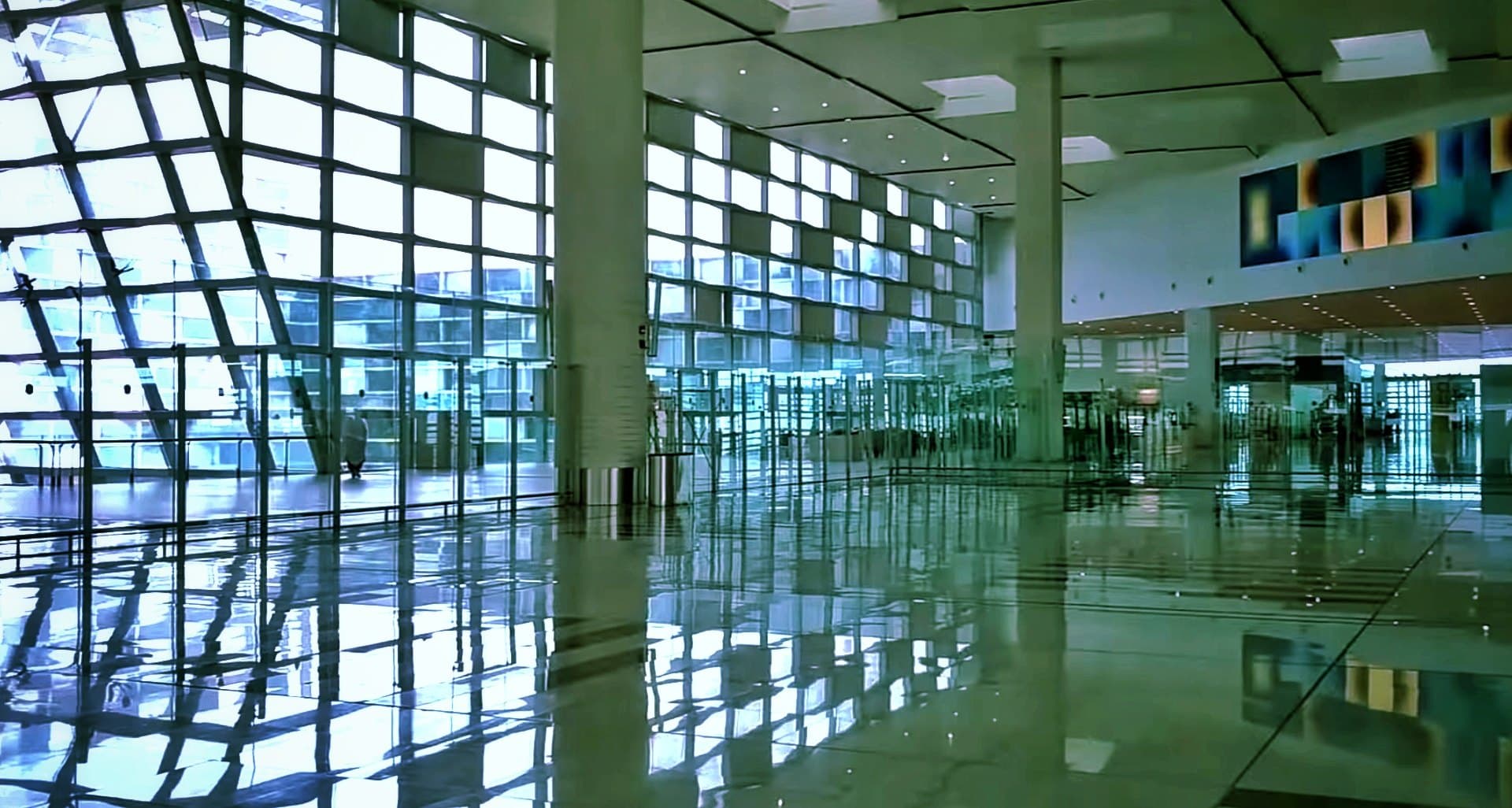
- E-11, F-11, G-13 and beyond — newer western sectors closer to the airport.
Outside the grid
Many people live in large private schemes outside the original plan: Bahria Town and DHA along GT Road, the Expressway schemes, and B-17 near the airport.
Getting around
Off-peak, most journeys within Islamabad take 15 to 30 minutes. The airport is 30 to 40 minutes from the centre. Rush hours — roughly 8–10 am and 4–7 pm — can double that on the Srinagar Highway, the Expressway and Murree Road. A local driver who knows the alternatives saves a lot of time.